
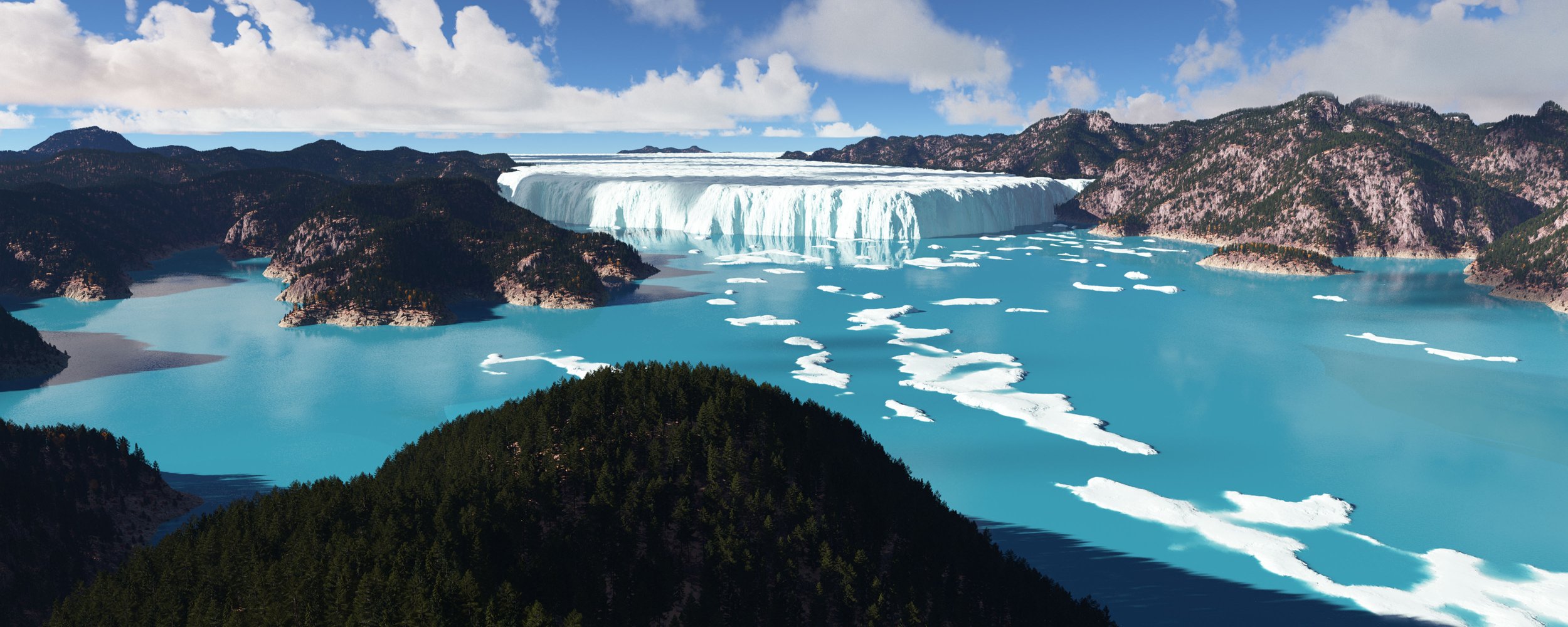
Glacial Lake Missoula
Our winery is named for Glacial Lake Missoula, an Ice-Age lake whose titanic floods scoured Eastern Washington’s desolate basalt plateau, and deposited rich alluvial deposits in almost all of the Northwest’s great wine regions. An estimated 500 cubic miles of water impounded in the lake, by a glacial ice-dam where present day Lake Pend Orielle is, was released when the ice-dam catastrophically failed. The flow of water was equivalent to ten times the flow of all the world’s rivers. On our travels scouting vineyards in Eastern Washington, we noticed many bizarre features to the landscape, which we were at a loss to explain - until we learned about the floods, discovered by the great geologist, J Harlen Bretz, in 1927.
Another geologist, J.T. Pardee, had discovered in 1910, that a massive lake had filled the mountains of Western Montana, finding ancient shorelines high in these mountains. This massive pre-historic lake was the logical source of the flood waters that scoured Bretz’s channelled scablands. A textbook example of science by consensus, the main contingent of geologists rejected Bretz's hypothesis for violating their dogma called "uniformitarianism". This dictated that geological changes were always gradual and slow. This dogma arose from the necessity to distance modern geology from stories like Noah's flood, itself part of the previous scientific dogma of "catastrophism". For violating the uniformitarian dogma, both scientists were ridiculed and their work largely ignored. Many decades later, a new generation of geologists, led by Victor R. Baker, vindicated Bretz's and Pardee's work. The moral of this absurd chapter in science is that evidence must guide theory and that science is never settled.
The ice-dam that created Glacial Lake Missoula was a leading-edge of the massive ice sheet that covered almost the entire continent north of the present day Canada-USA border. This massive ice sheet and others like it all melted in only 3000 years, when temperatures were much warmer than today, raising sea levels 100 meters, and leaving the continent as we know it at around 8,000 B.C. Glacial Lake Missoula re-formed and flooded over eighty times.
Pardee's ancient shorelines on the mountains above Missoula, Montana.
Layers from the floods along Highway 82 in the Yakima Valley
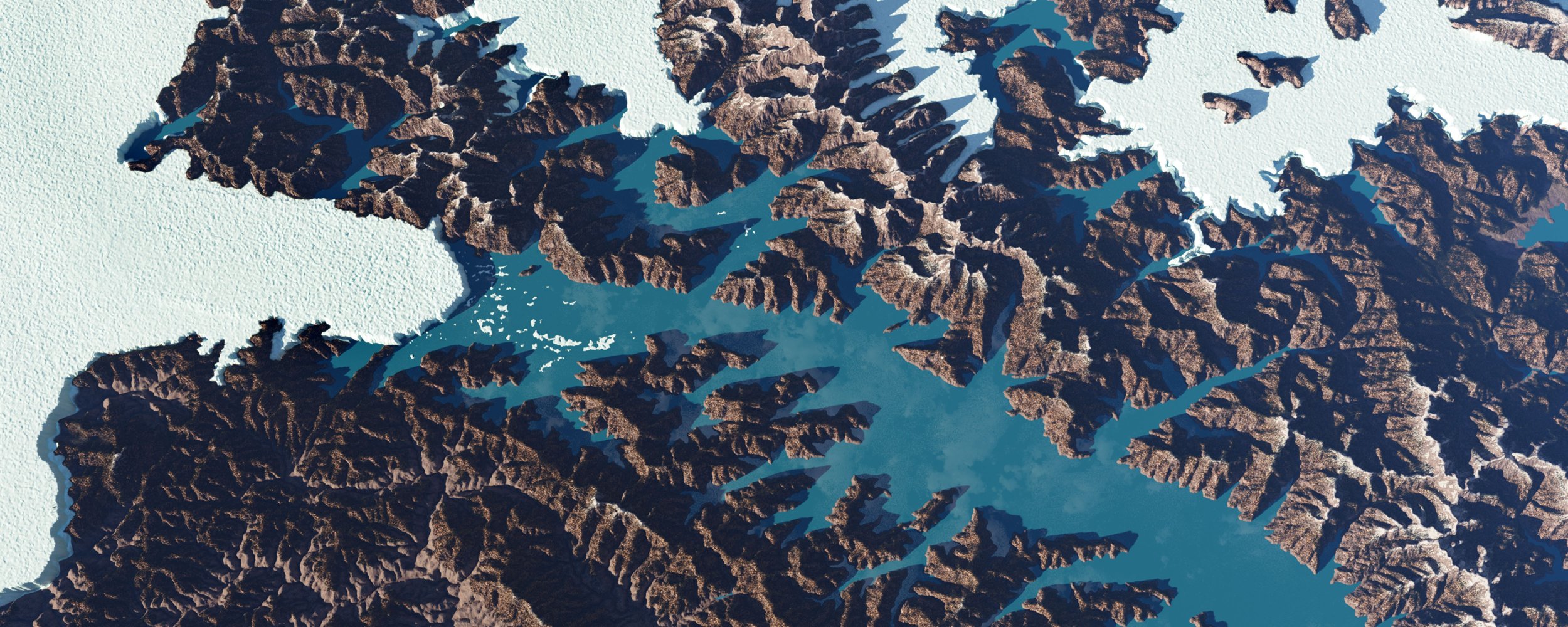
Our map of the GLM Floods
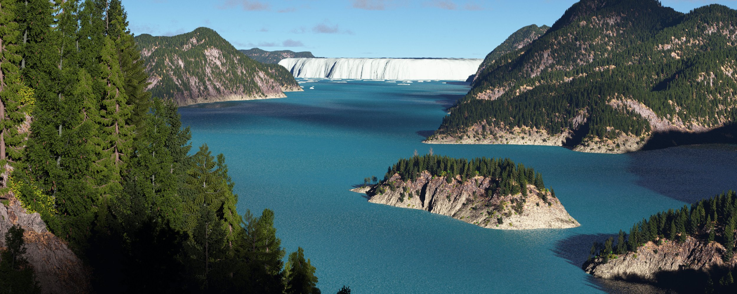
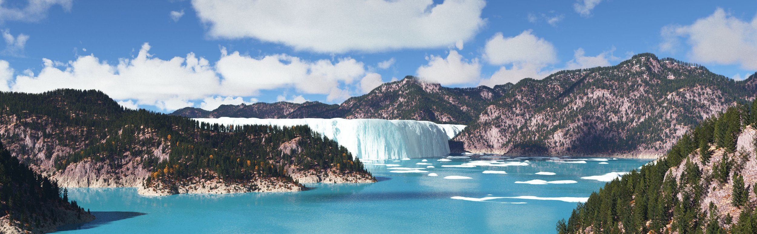
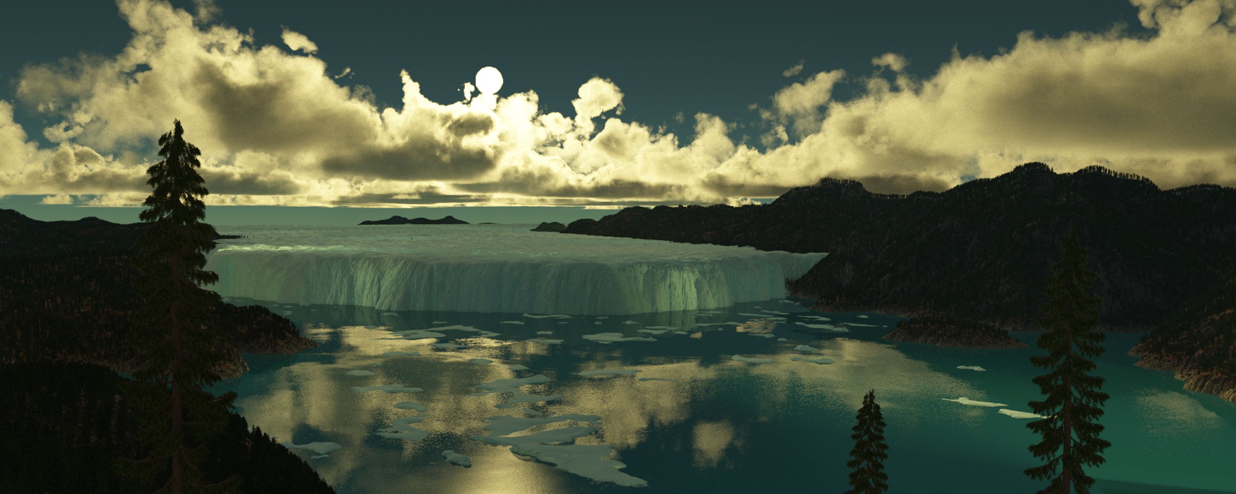
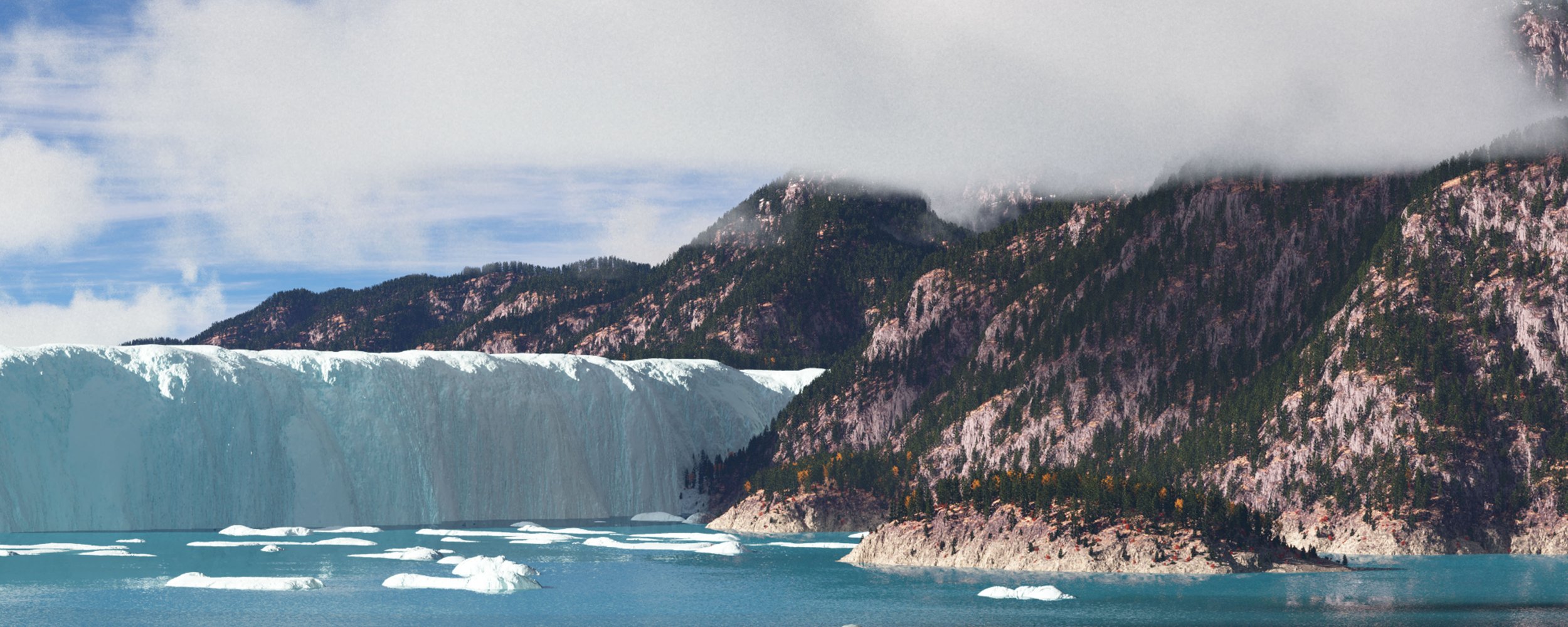
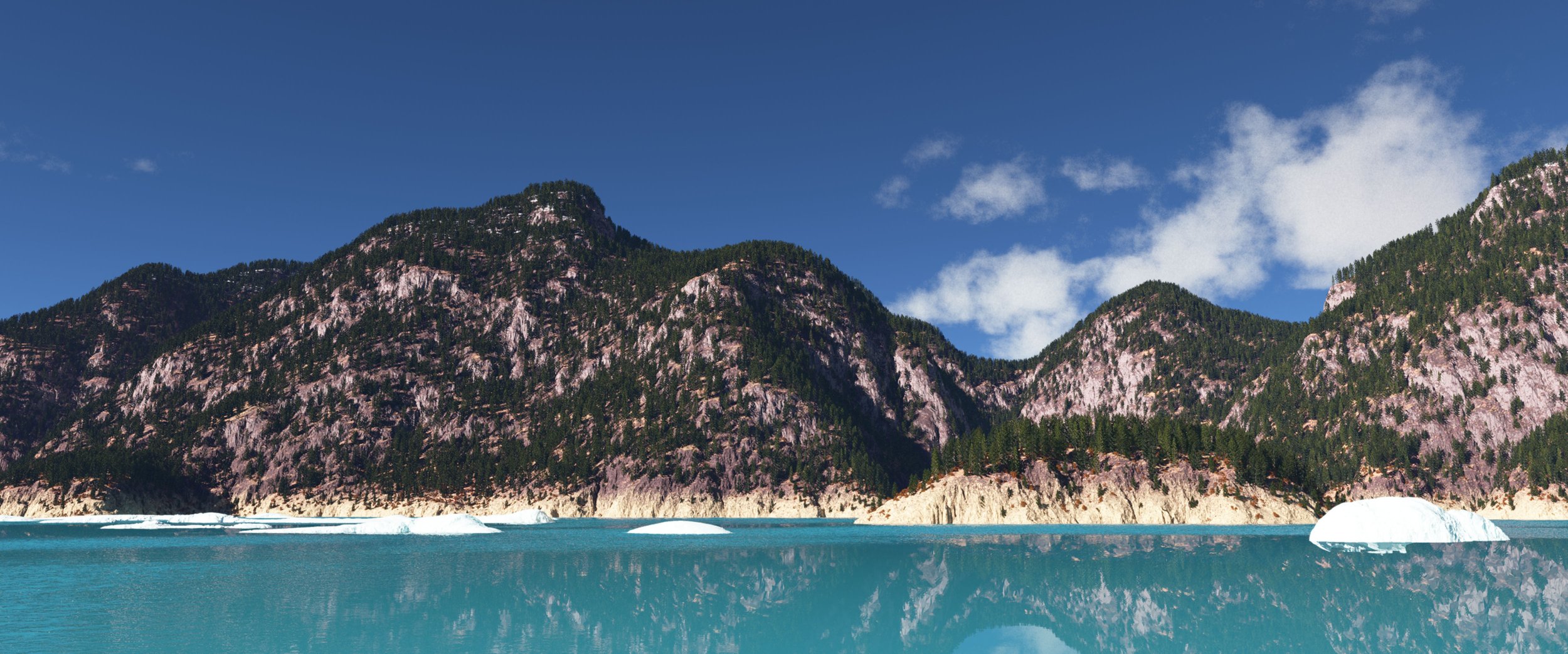
Panorama

A CGI virtual fly-through of the massive ice-age lake, that flooded the Pacific Northwest over 80 times. Musical soundtrack by Roger Sessions,"Suite from The Black Maskers" (Finale) www.newworldrecords.org
Unusual rings and craters in basalt bedrock, etched out during Ice Age megafloods. By Bruce Bjornstad

J Harlen Bretz

J.T. Pardee
Bretz's 1927 map of the Channeled Scablands
This is a temperature reconstruction of the last 130,000 years, based on several sources. Note that there was a warm interglacial period for about 10,000 years and then the earth plunges into an ice-age for 100,000 years. Note also that the last 10,000 years and all of human civilisation is in the squiggly bit, above the baseline, on the far right. We are very fortunate - or perhaps it is not at all coincidental that we live at this time.
An excellent, brief PBS video that accurately describes the scientific discoveries of J Harlen Bretz and J.T. Pardee.
Temperatures and C02 for the last 11,000 years.
A complete map of the floods, based on a USGS map.
Recommended Sites for more on Glacial Lake Missoula:
https://iafi.org Ice Age Floods Institute - Excellent resources and drone videos of the unique rock formations of the floods.